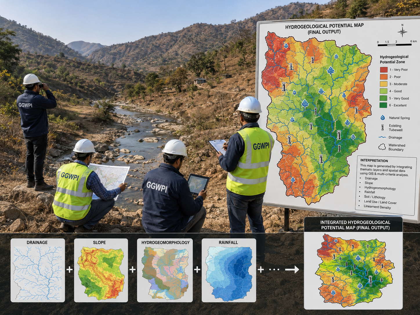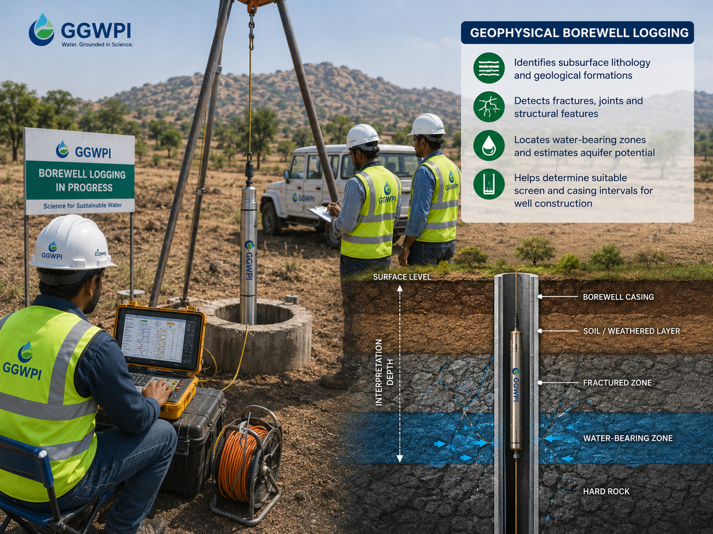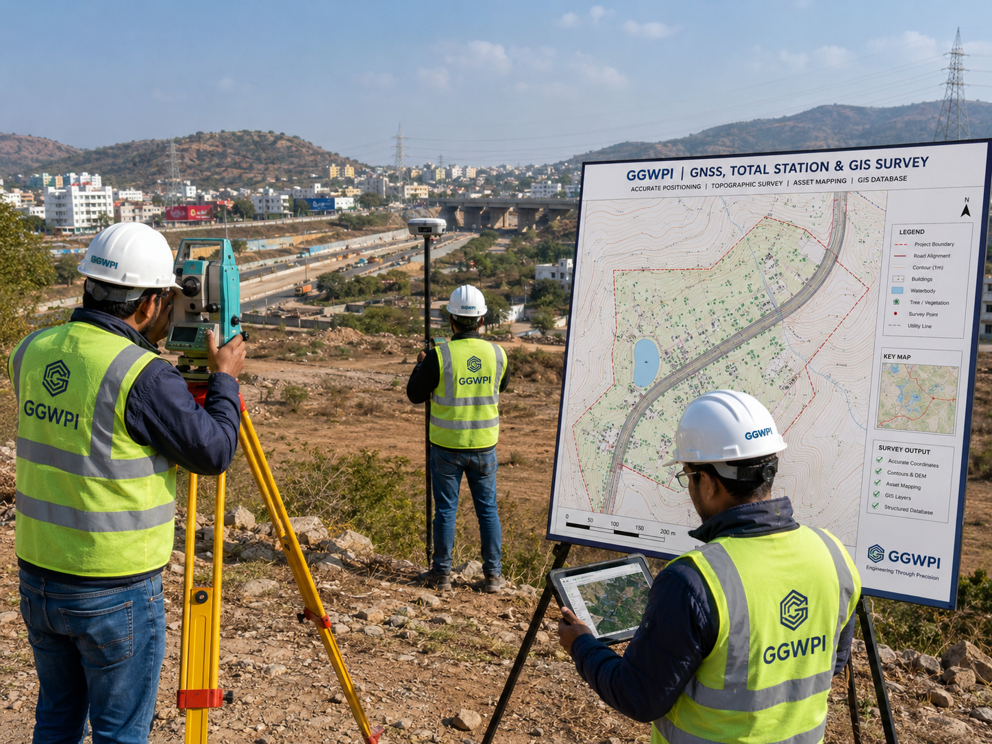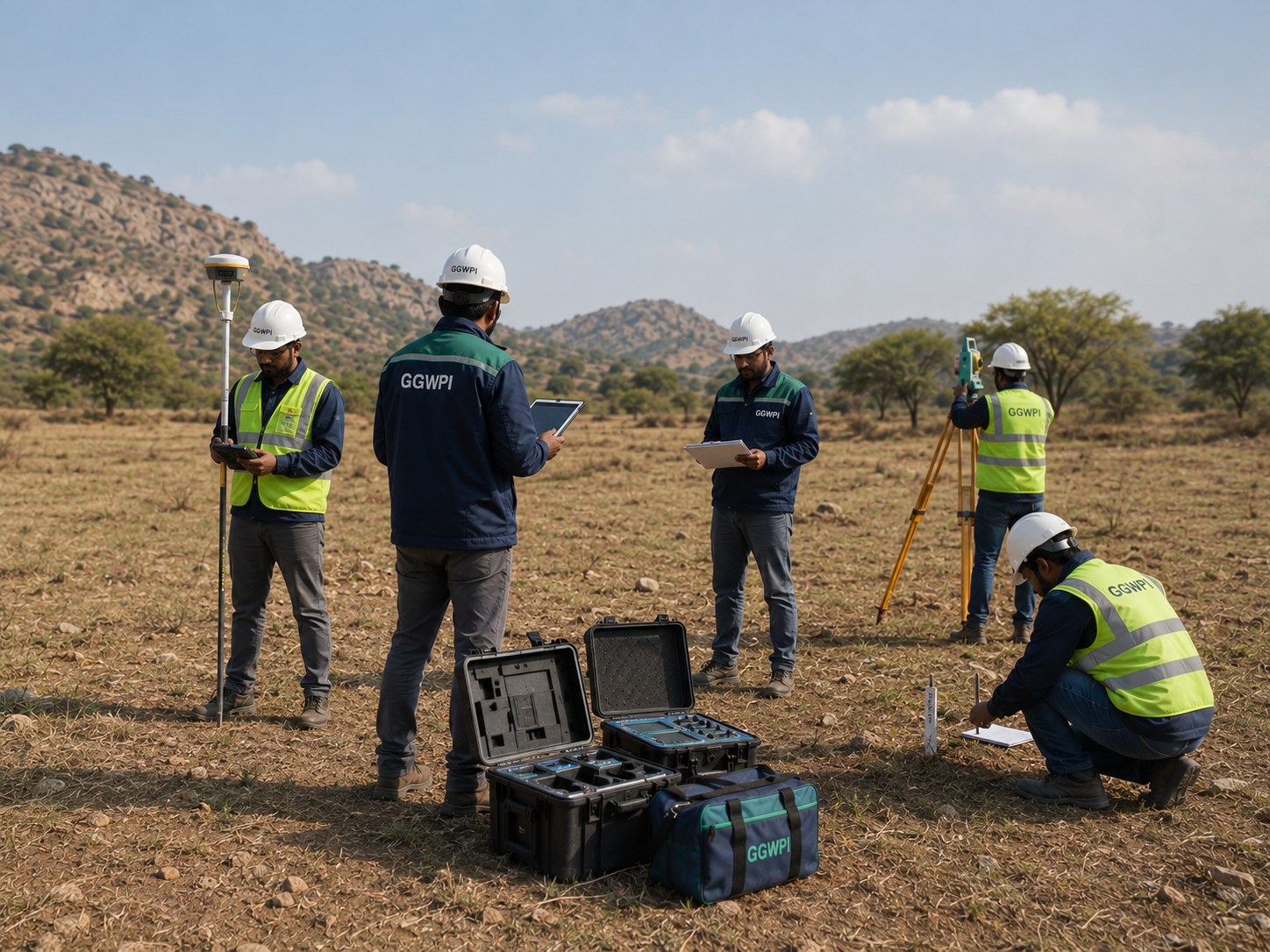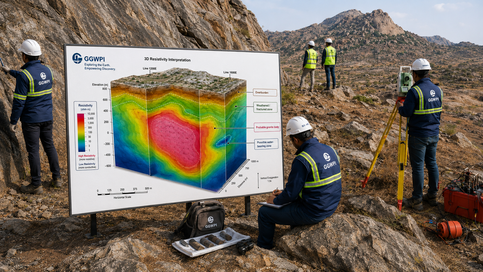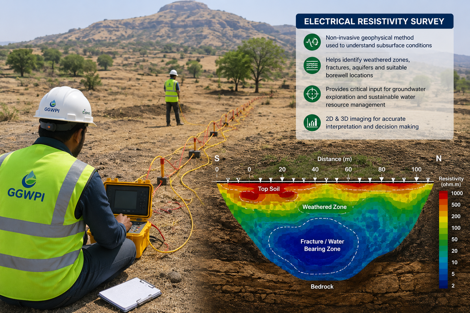
Groundwater Exploration
Scientific assessment of subsurface conditions using electrical resistivity, electromagnetic methods, geological observations and hydrogeological interpretation.
- Electrical Resistivity Survey
- Vertical Electrical Sounding
- Electromagnetic Survey
- Borewell siting and depth recommendation