Our Mission
To provide scientifically planned, field-validated and practically useful groundwater, geophysical and geospatial services that help clients make better technical decisions.
About Geotechnical & Groundwater Pioneers of India
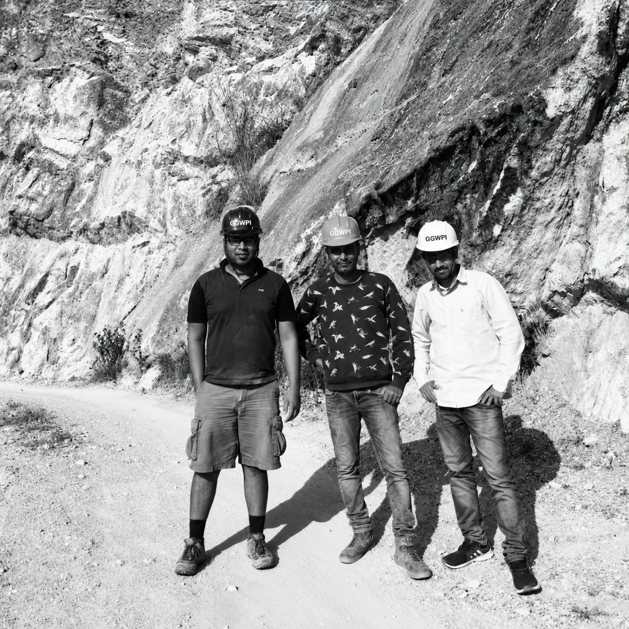
GGWPI is a Dehradun-based groundwater, geophysical, geospatial and scientific-data organisation serving government, institutional, infrastructure, research and private-sector projects across India.
Who We Are
Geotechnical & Groundwater Pioneers of India combines geophysical investigation, hydrogeological assessment, geospatial survey, field-data collection and groundwater-management expertise.
Our work extends from individual groundwater surveys and borewell logging assignments to institutional field programmes, infrastructure mapping, groundwater recharge and geological exploration projects.
GGWPI is based in Uttarakhand and undertakes suitable assignments across India. Our technical background also includes project exposure in Laos, Myanmar, Indonesia, Vietnam and Singapore.
Our Purpose
To provide scientifically planned, field-validated and practically useful groundwater, geophysical and geospatial services that help clients make better technical decisions.
To develop GGWPI into a nationally trusted organisation for groundwater, geophysics, Himalayan monitoring, geospatial intelligence and scientific data services.
We combine site-specific fieldwork, suitable instruments, geological understanding, transparent reporting and practical recommendations.
Experience and Capability
GGWPI works across multiple technical disciplines while maintaining a strong foundation in groundwater and geophysics.
Electrical resistivity, EM survey, borewell siting, hydrogeological assessment and groundwater-potential studies.
Downhole resistivity, self-potential, natural gamma and aquifer-zone interpretation for groundwater borewells.
Site assessment, recharge-bore planning, filtration, sediment management and implementation support.
GNSS, Total Station, GIS, GPR and infrastructure-asset mapping for government and engineering projects.
Coordinate-based field acquisition and remote-area mobilisation for research and institutional assignments.
Multi-point resistivity, overburden assessment, hard-rock interpretation and 2D or 3D modelling.
Government and Institutional Experience
GGWPI has experience supporting government water-supply work, borewell recharge, geophysical well logging, hydrogeological investigations, utility mapping and scientific field-data collection.
Our institutional work may involve operating under project-specific methods, confidentiality requirements, field protocols and reporting formats.
Client names and confidential project information are not disclosed publicly unless permission is available.
Technical Capability
Equipment and field methods are selected according to the project objective, required accuracy and site conditions.
Groundwater exploration, subsurface layering, fracture-zone assessment and geological studies.
Rapid reconnaissance and conductivity-based subsurface assessment.
Downhole measurements for lithology and aquifer-zone interpretation.
Underground utility detection, shallow subsurface investigation and structural assessment.
Geographic positioning, control points, topographic survey and engineering measurements.
Spatial databases, asset mapping, field-data organisation and digital deliverables.
Building for the Future
CDCPC is an initiative of GGWPI to organise, standardise and make discoverable historical geophysical, groundwater and geospatial data.
The initiative begins with more than 1,000 survey and data locations and is intended to grow toward permanent GNSS, seismic and environmental monitoring stations in underserved Himalayan regions.
Learn About CDCPCWhy Choose GGWPI
Groundwater and geophysical assignments are handled with relevant scientific understanding.
Survey design and deliverables are adapted to the site and project objective.
Field capability in mountainous, rural and difficult terrain.
Geophysics, hydrogeology, GNSS, GIS, GPR and field-data collection can be combined.
Findings, limitations and practical recommendations are communicated clearly.
Based in Uttarakhand and available for suitable projects across India.
Need Scientific Survey or Groundwater Support?
Share the project location, objective, available information and expected deliverables. Our team will review the requirement and suggest the next step.